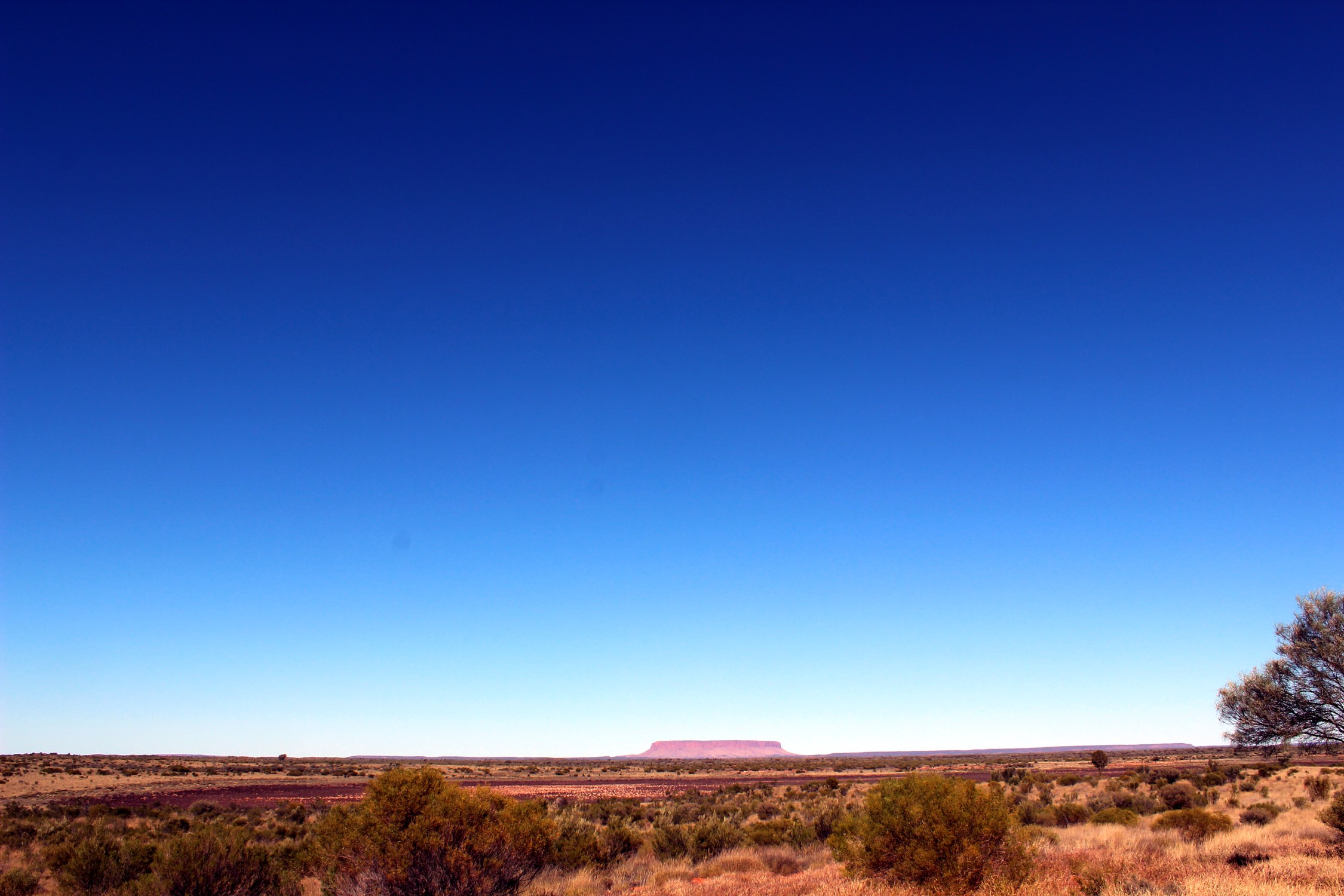
Mount Conner is a flat-topped and horseshoe-shaped mesa, part of the same vast rocky substrate thought to be beneath Uluru/Ayers Rock and Kata Tjuta/Olgas. It can easily be confused with Uluru, since it can be seen from the road to Uluru and Kata Tjuta, when approaching from Alice Springs. It was named Mount Conner by William Gosse in 1873 after South Australian politician M. L. Conner.
Kata Tjuta, sometimes written Tjuṯa (Kata Joota), and also known as Mount Olga (or colloquially as The Olgas), are a group of large domed rock formations or bornhardts located about 365 km (227 mi) southwest of Alice Springs, in the southern part of the Northern Territory, central Australia. Uluru, 25 km (16 mi) to the east, and Kata Tjuta form the two major landmarks within the Uluru-Kata Tjuta National Park.
The 36 domes that make up Kata Tjuta cover an area of 21.68 km2 (8.37 sq mi), are composed of conglomerate, a sedimentary rock consisting of cobbles and boulders of varying rock types including granite and basalt, cemented by a matrix of sandstone.
Uluru is one of Australia's most recognisable natural landmarks. The sandstone formation stands 348 m (1,142 ft) high, rising 863 m (2,831 ft) above sea level with most of its bulk lying underground, and has a total circumference of 9.4 km (5.8 mi).[5] Both Uluru and the nearby Kata Tjuta formation have great cultural significance for the Aṉangu people, the traditional inhabitants of the area, who lead walking tours to inform visitors about the local flora and fauna, bush foods and the Aboriginal dreamtime stories of the area.
Uluru is notable for appearing to change colour at different times of the day and year, most notably when it glows red at dawn and sunset.Uluru is notable for appearing to change colour at different times of the day and year, most notably when it glows red at dawn and sunset.